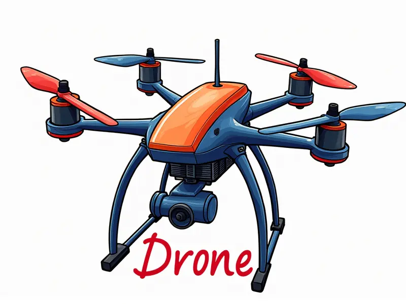
What is drone GPS accuracy?

How Accurate Is Drone GPS Today?
The accuracy of drone GPS today varies significantly based on several factors, including the quality of the GPS receiver and signal conditions. Generally, consumer-grade drones achieve an accuracy range of 1 to 5 meters in optimal conditions. However, this can degrade under poor satellite visibility or interference.
Factors Affecting Drone GPS Accuracy
- Satellite Visibility: The number and position of satellites available for the drone's receiver impact accuracy.
- Signal Interference: Obstacles like buildings, trees, or electronic devices can weaken GPS signals.
- Drone Altitude: Higher altitudes generally provide better signal reception due to fewer obstructions.
Improving Drone GPS Signal Strength
To enhance GPS accuracy, consider the following tips:
- Maintain clear line-of-sight with satellites by flying in open areas.
- Avoid operating drones near tall structures or dense foliage.
- Use high-precision GPS modules and antennas designed for enhanced signal reception.
Best Drones for High GPS Accuracy
Certain models stand out in terms of GPS accuracy:
- DJI Phantom 4 Pro: Known for its advanced GPS system, offering centimeter-level positioning when used with RTK technology.
- Mavic 2 Enterprise Advanced: Equipped with a high-precision GPS module and real-time kinematic (RTK) support.
Understanding Drone GPS Precision Limits
The precision of drone GPS is fundamentally limited by the inherent accuracy of satellite signals. Standard consumer drones typically achieve 1 to 5 meters accuracy, while professional models with RTK technology can reach sub-meter or even centimeter-level precision.
Future of Drone GPS Technology
Advancements in GPS technology are expected to improve drone accuracy further:
- RTK and PPK Technologies: Real-time kinematic (RTK) and post-processing kinematic (PPK) systems will continue to enhance precision.
- Multi-GNSS Support: Drones may incorporate multiple satellite constellations for better coverage and accuracy.
The Truth About Drone GPS Precision
While some manufacturers claim high accuracy, it's important to understand that true centimeter-level precision often requires additional equipment like RTK modules. Standard consumer drones typically offer meter-level accuracy under ideal conditions.
Common Issues with Drone GPS Signals
- Satellite Blockage: Tall buildings, trees, or other obstructions can block satellite signals.
- Multipath Interference: Reflections from surfaces can cause signal distortion and reduce accuracy.
- Electromagnetic Interference (EMI): Electronic devices nearby can interfere with GPS signals.
Maximizing Drone GPS Performance Tips
To optimize your drone's GPS performance:
- Fly in open areas away from tall structures and dense foliage.
- Use high-quality, dedicated GPS antennas for better signal reception.
- Ensure regular software updates to benefit from improved algorithms and firmware enhancements.
Real-World Drone GPS Accuracy Testing
Testing your drone's GPS accuracy in real-world conditions is crucial:
- Controlled Environment Tests: Conduct tests in open fields or rooftops with clear views of the sky.
- Variety of Locations: Test in different environments to understand how terrain and obstacles affect accuracy.
The Role of GPS in Drone Flight
GPS plays a critical role in drone flight by providing essential navigation data. It enables precise positioning, automated flight paths, and safe return-to-home functionality. Without accurate GPS, drones would struggle to maintain stability and execute complex maneuvers.
Conclusion
The accuracy of drone GPS is an evolving field with significant advancements being made regularly. Understanding the factors that influence GPS performance can help users maximize their drone's capabilities in various environments. As technology improves, we can expect even greater precision and reliability from future drones equipped with advanced GPS systems.

