How does a drone know its position?
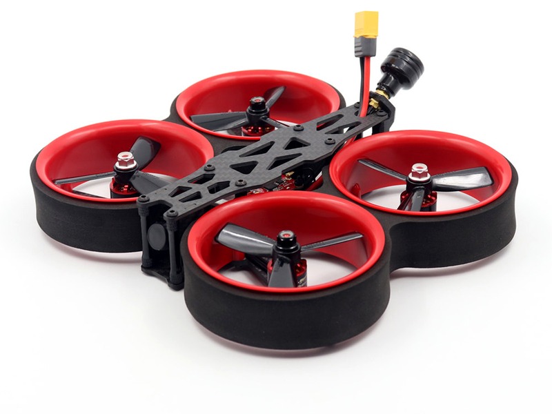
How does a drone know its position?

A drone knows its position by using a combination of different technologies including GPS, inertial measurement units (IMUs), and computer vision.

GPS

One of the most common ways for a drone to know its position is by using Global Positioning System (GPS) technology. GPS is a network of satellites developed by the US Department of Defense to provide precise location information to users anywhere in the world. A drone can receive signals from multiple satellites at once to calculate its exact coordinates. Using this data, the drone can then determine its exact latitude, longitude, and altitude.

IMUs

In addition to GPS, many drones use inertial measurement units (IMUs) to help them know their position. IMUs are small electronic devices that measure a drone’s acceleration and angular rate. By combining the data from the IMU with information from the GPS, a drone can more accurately determine its current position and orientation.

Computer Vision

Computer vision is a technique where an onboard camera is used to provide information about the environment. The camera can be used to detect and track features in the surrounding area such as buildings, roads, and trees. By comparing the camera’s position in the environment to its known location, the drone can determine its exact coordinates.

Conclusion

By using a combination of GPS, IMUs, and computer vision, drones are able to accurately determine their current position. This helps them to navigate their way around the environment and avoid obstacles with great precision. Furthermore, this technology has allowed for the development of autonomous drones that can fly without human intervention. With the continued advancement of drone technology, the possibilities for drone applications are only limited by our imagination.

Was this article useful?  πŸ‘ 0   πŸ‘Ž 0   πŸ‘€ 3  Rating:   Posted by: πŸ‘¨ Robert R. Dinh


Add new comment/question

Comments / Question

πŸ‘€ πŸ’¬
How does a drone use radio frequency signals to determine its position?
πŸ‘¨ πŸ“œ
A drone uses radio frequency signals from GPS satellites to determine its position. The drone's onboard GPS receiver processes the signals and calculates its exact location. It also uses the signals to measure its speed and altitude. The drone can then compare its current position to its predetermined route, allowing it to navigate autonomously.
πŸ‘€ πŸ’¬
How does a drone use visual odometry to determine its position?
πŸ‘¨ πŸ“œ
Visual odometry is a technique used by drones to estimate their position and orientation in space. It uses a camera to capture images of the environment and then uses computer vision algorithms to track the motion of the drone. By comparing the current image with a previous image, the drone can calculate its displacement and orientation. This information is then used to update the drone’s position and orientation in space.
πŸ‘€ πŸ’¬
How does a drone use inertial navigation systems to determine its position?
πŸ‘¨ πŸ“œ
Inertial navigation systems (INS) use accelerometers and gyroscopes to measure the drone's acceleration, velocity, and orientation. This data is then used to calculate the drone's position relative to its starting point. The INS also takes into account the effects of gravity and other external forces, allowing the drone to accurately determine its position in three-dimensional space.
πŸ‘€ πŸ’¬
How does a drone use GPS to determine its position?
πŸ‘¨ πŸ“œ
A drone uses GPS to determine its position by receiving signals from multiple satellites in the Global Positioning System (GPS). The drone then uses the data from the satellites to calculate its exact location. This data is then used to control the drone's movements, such as its speed and direction. The drone also uses this data to avoid obstacles and to stay within its designated flight path.
πŸ‘€ πŸ’¬
What type of sensors does a drone use to determine its position?
πŸ‘¨ πŸ“œ
A drone typically uses a combination of sensors to determine its position, including GPS, an inertial measurement unit (IMU), and a barometer. The GPS provides the drone with its geographical coordinates, the IMU measures the drone's orientation and acceleration, and the barometer measures the drone's altitude.
×
Wait 20 seconds...!!!