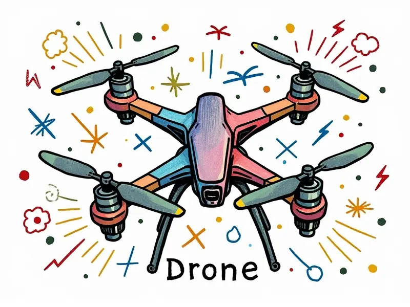
What is drone mapping?

Unveiling Drone Mapping Technology
Drone mapping, also known as aerial photogrammetry or drone surveying, involves capturing high-resolution images from the air to create detailed 3D models and maps of terrain. This technology has revolutionized various industries by providing accurate data collection methods that are faster and more cost-effective than traditional techniques.
Simplifying Aerial Data Collection
The process begins with equipping drones with high-quality cameras capable of capturing multiple images from different angles as they fly over the area to be mapped. These images are then processed using specialized software, which stitches them together into a comprehensive map or 3D model.
Benefits of Using Drones for Mapping
- Efficiency: Drones can cover large areas quickly and efficiently compared to ground-based surveying methods.
- Cost-effectiveness: Reduces labor costs and eliminates the need for expensive equipment like helicopters or planes.
- Safety: Minimizes risks associated with working in hazardous environments such as steep terrain, unstable structures, or contaminated sites.
- Detailed Data: Provides highly accurate measurements and detailed visual representations of the mapped area.
Precision Agriculture with Drone Maps
In agriculture, drone mapping enables farmers to monitor crop health, assess soil conditions, and optimize irrigation systems. By analyzing aerial imagery, they can identify areas requiring more attention or resources, leading to increased yields and reduced waste.
Top Tools for Drone Mapping
- Pix4D: Offers powerful software solutions for creating accurate 2D maps and 3D models from drone imagery.
- ArcGIS Drone Mapping: Integrates seamlessly with Esri's GIS platform, providing advanced analytics capabilities.
- Skydio: Known for its autonomous flight technology that ensures safe and efficient data collection.
Creating Accurate Land Surveys via Drones
Drones equipped with LiDAR (Light Detection and Ranging) sensors can generate highly precise topographic maps, essential for land management, urban planning, and environmental conservation efforts. These surveys provide critical information about elevation changes, vegetation density, and other landscape features.
Drone Mapping for Construction Projects
The construction industry benefits significantly from drone mapping by enabling project managers to monitor progress, track material usage, and identify potential issues early on. Regular aerial inspections help ensure compliance with safety regulations while reducing downtime due to unforeseen problems.
Real Estate: Leveraging Drone Mapping
In real estate, drones offer a unique selling proposition by providing stunning aerial views of properties that can be used in marketing materials or virtual tours. This technology enhances the buyer's experience and increases property visibility online.
Environmental Monitoring Through Drones
- Biodiversity Assessment: Helps track wildlife populations, monitor habitat changes, and support conservation efforts.
- Disaster Response: Quickly assess damage after natural disasters to facilitate rescue operations and recovery planning.
- Water Quality Monitoring: Detect pollution levels in rivers, lakes, and oceans using multispectral imaging techniques.
Construction Site Management with Drones
Drones play a crucial role in managing construction sites by providing real-time updates on project status, identifying safety hazards, and ensuring compliance with building codes. This data-driven approach enhances productivity while maintaining high standards of quality control.
Top Applications of Drone Mapping
- Mining: Optimize extraction processes through detailed geological surveys and resource assessments.
- Transportation Infrastructure: Plan new routes, inspect bridges, and monitor road conditions for maintenance purposes.
- Emergency Services: Aid in search-and-rescue missions by locating missing persons or assessing damage from incidents like fires or floods.
Conclusion
The versatility of drone mapping technology makes it an indispensable tool across numerous sectors. From agriculture to construction, real estate to environmental monitoring, drones provide unparalleled insights that drive innovation and efficiency. As this technology continues to evolve, we can expect even more exciting applications in the future.

