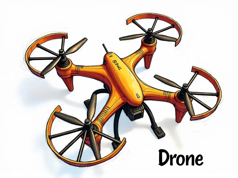
What is GPS in drones?

GPS, or Global Positioning System, plays a crucial role in the operation and functionality of drones. This technology enables precise navigation, tracking, and control, making it an indispensable component for both commercial and recreational drone users.
Why GPS Is Essential for Drones
The integration of GPS into drones offers numerous benefits that enhance their performance and safety. Here are some key reasons why GPS is essential:
- Navigational Precision: GPS allows drones to maintain accurate positions, enabling them to fly in complex environments without losing track.
- Safety Enhancements: By providing real-time location data, GPS helps prevent collisions and ensures that drones stay within legal boundaries.
- Autonomous Flight: With GPS, drones can operate autonomously, following pre-programmed flight paths with minimal human intervention.
Basics of Drone GPS Navigation
Drones equipped with GPS use satellite signals to determine their exact location and orientation. This information is then used to plot a course and navigate through various terrains:
- Position Fixing: The drone receives signals from multiple satellites, calculating its position based on the time it takes for these signals to reach it.
- Orientation Determination: GPS also aids in determining the drone's orientation and heading, allowing it to maintain a stable flight path.
Enhancing Drone Flight with GPS
The use of GPS significantly improves the capabilities of drones by offering features such as:
- Waypoint Navigation: Drones can be programmed to fly to specific waypoints, ensuring they cover designated areas accurately.
- Return-to-Home (RTH) Functionality: In case of signal loss or battery depletion, GPS enables the drone to automatically return to its starting point.
Top Uses of GPS in Drones
The applications of GPS in drones are vast and varied. Here are some top uses that highlight its importance:
- Agriculture: Farmers use drone GPS to monitor crop health, apply fertilizers precisely, and optimize irrigation.
- Mining: Drones equipped with GPS assist in surveying mining sites, monitoring stockpile levels, and assessing environmental impacts.
Understanding Drone GPS Technology
The technology behind drone GPS involves complex algorithms and satellite communication. Here’s a brief overview of how it works:
- Satellite Communication: Drones receive signals from multiple GPS satellites, which are then processed to determine the drone's position.
- Data Processing: The received data is analyzed by onboard processors to calculate speed, altitude, and orientation.
GPS: The Backbone of Drone Operations
The reliance on GPS for drones underscores its importance in ensuring efficient and safe operations. Without GPS, many advanced features would be impossible:
- Autonomous Missions: GPS enables drones to carry out missions autonomously, reducing the need for constant human oversight.
- Real-Time Monitoring: Operators can track drone movements in real-time, ensuring they remain within legal and operational boundaries.
Mastering Drone GPS Technology
To fully leverage the benefits of GPS in drones, it is essential to understand how to use this technology effectively:
- Calibration: Proper calibration ensures accurate readings from GPS sensors.
- Data Analysis: Analyzing GPS data can provide insights into drone performance and environmental conditions.
Exploring GPS Capabilities in Drones
The capabilities of GPS extend beyond basic navigation, offering advanced features such as:
- Precision Mapping: GPS helps drones create highly accurate maps by precisely locating each point captured.
- 3D Modeling: By integrating GPS data with imaging technology, drones can generate detailed 3D models of structures and landscapes.
Navigating with Drone GPS Systems
The process of navigating using drone GPS systems involves several steps:
- Setup: Configure the drone’s GPS settings to ensure optimal performance.
- Fly: Use the GPS data to guide the drone through its mission, whether it's surveying an area or delivering a package.
Maximizing Your Drone with GPS
To get the most out of your drone’s GPS capabilities, consider these tips:
- Maintain Regular Updates: Keep your drone's firmware and software updated to ensure compatibility with the latest GPS features.
- Practice Safe Flight: Always follow local regulations and guidelines when operating drones equipped with GPS technology.
Basics of GPS for Drone Pilots
Piloting a drone effectively requires an understanding of how GPS works. Here are some fundamental concepts to grasp:
- Signal Reception: Learn about the different types of signals and their impact on GPS accuracy.
- Data Interpretation: Understand how to interpret GPS data to optimize your drone’s performance.
Conclusion
The integration of GPS technology into drones has revolutionized the way these devices are used in various industries. From agriculture and construction to surveying and delivery services, GPS ensures that drones operate with precision and efficiency. As drone technology continues to advance, the role of GPS will only become more critical in enabling new applications and capabilities.

