How do drone pilots see?

Drone pilots see the world from the perspective of their unmanned aerial vehicles (UAVs). Drone pilots use a variety of technologies to see the world from the air, such as first-person view (FPV) and real-time video feeds.
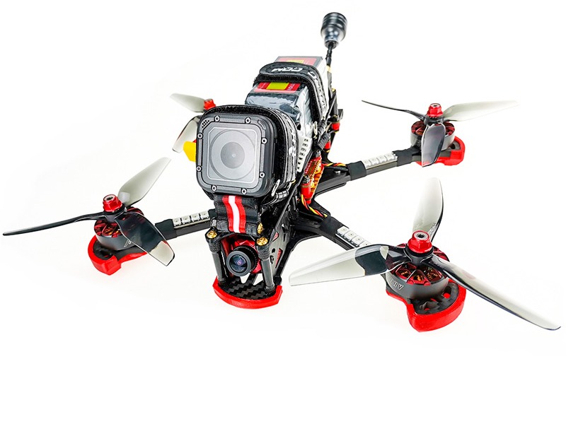
First-person view (FPV) is a type of drone piloting where the pilot sees the world through the eyes of the drone itself. This is done by mounting a small camera on the drone and sending the video feed to the pilot’s goggles or a monitor. This allows the pilot to experience the flight as if they were in the cockpit of the drone. This type of piloting is often used for racing and other recreational activities.
Real-time video feeds are typically used for more serious applications. In this case, the pilot uses a monitor, laptop, or tablet to view the live video feed from the drone’s camera. This allows the pilot to see the environment in real-time, allowing them to make decisions on where to fly the drone and what to capture with the camera.
In addition to FPV and real-time video feeds, drone pilots can also use a variety of sensors to see the world from the air. These sensors can include thermal, night vision, and multispectral cameras, as well as LIDAR and RADAR systems. Thermal cameras allow the pilot to detect heat signatures, while night vision cameras allow the pilot to see in the dark. Multispectral cameras can detect different wavelengths of light, such as visible, near-infrared, and shortwave infrared. LIDAR and RADAR systems can detect objects in 3D and can be used to create 3D maps of the environment.
Finally, drone pilots also use GPS systems to see the world from the air. GPS systems allow the pilot to precisely track the location of the drone, as well as the altitude and speed of the drone. This information is essential for the pilot to safely and accurately pilot the drone.
In conclusion, drone pilots see the world from the perspective of their unmanned aerial vehicles (UAVs). They use a variety of technologies, such as first-person view (FPV), real-time video feeds, sensors, and GPS systems to see the world from the air. These technologies allow the pilot to make decisions on where to fly the drone and what to capture with the camera.

