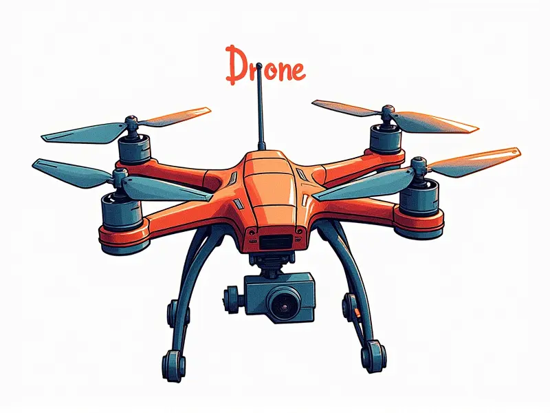
How to use a drone for mapping

Master Drone Mapping Techniques Today
Welcome to the world of drone mapping! Whether you're a beginner or an experienced user, this guide will help you unlock the full potential of your drone for creating detailed and accurate maps.
Quick Start Guide to Drone Mapping
Dive right into drone mapping with these essential steps:
- Select the Right Drone: Choose a drone equipped with high-resolution cameras and GPS capabilities. Popular models include DJI Phantom 4 Pro, Mavic 2 Pro, and Matrice series.
- Software Setup: Install mapping software such as Pix4D, Agisoft Metashape, or DroneDeploy on your computer. These tools process raw data into detailed maps and models.
- Flight Planning: Use the drone's flight planning feature to map out your survey area. Ensure you cover all necessary points with optimal overlap for accurate results.
- Data Collection: Fly over your target area following your planned route. Capture high-resolution images at regular intervals and maintain consistent altitude.
- Data Processing: Import the collected data into your chosen software to generate detailed maps, 3D models, or orthomosaics.
Top Tips for Accurate Drone Mapping
To ensure your drone mapping projects are precise and reliable, follow these expert tips:
- Calibrate Your Equipment: Regularly calibrate your drone's sensors and camera to maintain accuracy.
- Weather Conditions: Plan flights during optimal weather conditions. Avoid windy days or heavy cloud cover that can affect image quality.
- Gimbal Stability: Ensure the gimbal is properly stabilized for smooth, steady shots. This reduces blur and enhances image clarity.
- Data Overlap: Use high overlap settings (at least 70%) to ensure comprehensive coverage of your survey area.
- Post-Processing Checks: Review processed data for accuracy and completeness before finalizing the map.
Beginner's Guide to Drone Surveying
If you're new to drone mapping, start with these fundamental steps:
- Understand Your Tools: Familiarize yourself with your drone and its features. Learn how to operate it safely and efficiently.
- Plan Your Survey Area: Define the boundaries of your survey area clearly on a map or using GPS coordinates.
- Flight Path Optimization: Use flight planning software to create an efficient route that covers all necessary points without redundancy.
- Data Management: Organize and back up collected data systematically. This ensures you have everything needed for post-processing.
Efficient Drone Mapping for Beginners
Earn the most from your drone mapping efforts with these efficiency tips:
- Avoid Overlap Waste: Minimize unnecessary overlap to save time and battery life. Adjust settings based on terrain complexity.
- Use Ground Control Points (GCPs): Implement GCPs for enhanced accuracy in areas with complex topography or critical details.
- Leverage Automation: Utilize automated flight modes and software features to streamline data collection and processing.
- Optimize Battery Usage: Plan flights strategically to maximize battery life. Charge batteries fully before each mission.
Simplified Drone Mapping Workflow Explained
The process of drone mapping can be streamlined into a series of straightforward steps:
- Data Collection Phase: Capture images systematically across your survey area using high-resolution cameras and GPS.
- Data Processing Phase: Import raw data into specialized software to clean, align, and stitch together individual shots.
- Map Generation Phase: Generate detailed maps, 3D models, or orthomosaics using advanced algorithms for precision.
Essential Tools for Drone Mapping Success
To excel in drone mapping, invest in these key tools:
- Drones with GPS and High-Resolution Cameras: Equip your drone with the latest technology to capture high-quality images.
- Mapping Software (Pix4D, DroneDeploy): Use industry-standard software for efficient data processing and map generation.
- Gimbal Stabilizers: Ensure smooth camera movement for sharp, clear images even in windy conditions.
- Ground Control Points (GCPs): Utilize GCPs to achieve sub-meter accuracy in your maps and models.
Creating High-Quality Maps with Drones
Produce top-notch maps by adhering to these best practices:
- High-Resolution Imagery: Capture images at the highest resolution possible for maximum detail and clarity.
- Consistent Altitude Flights: Maintain a consistent altitude throughout your flights to ensure uniform image quality across the map.
- Leverage Overlap Settings: Set appropriate overlap percentages (70-80%) for seamless stitching of images into detailed maps.
- Post-Processing Refinement: Use advanced post-processing techniques to enhance image quality and accuracy in your final maps.
Best Practices in Drone Cartography
Stay ahead with these recommended practices for drone cartography:
- Data Validation: Regularly validate data against ground truth measurements to maintain high standards of accuracy.
- Continuous Calibration: Keep your equipment calibrated and updated for consistent performance over time.
- Leverage Cloud Services: Use cloud-based solutions for large-scale projects, enabling real-time collaboration and data sharing.
- Compliance with Regulations: Adhere to local regulations regarding drone usage in surveying and mapping activities.
Unlock the Power of Drone Mapping Now
Dive into the exciting realm of drone mapping and unlock its full potential. With the right tools, techniques, and practices, you can create highly accurate maps that drive informed decisions and innovation across various industries.
Start Mapping with Your Drone Now
Ready to begin your journey in drone mapping? Follow our comprehensive guide to start creating detailed and precise maps today. Whether for land surveying, construction monitoring, or environmental studies, drones offer unparalleled capabilities that can transform your work.

